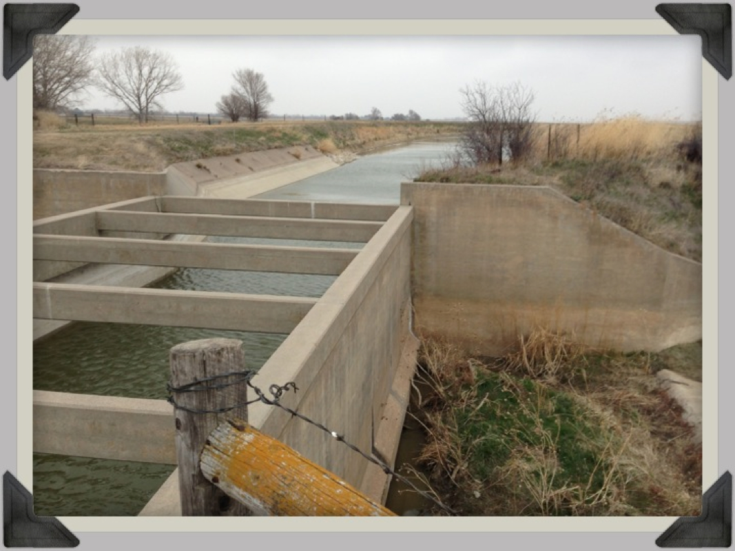
Dear Google Maps,
Thanks for the scenic view, but how am I supposed to get across?
Sincerely,
Sterling
4/17/13
SoilTrek.com
Thanks for the scenic view, but how am I supposed to get across?
Sincerely,
Sterling
4/17/13
SoilTrek.com
|
|
|
|
Dear Google Maps,
Thanks for the scenic view, but how am I supposed to get across? Sincerely, Sterling 4/17/13 SoilTrek.com
2 Comments
4/20/2013 08:30:10 am
I use different mapping software but suspect it has the same characteristics as Google. So, a future hint. In more remote areas the map data can be old, bridges can be gone or missing, roads can be closed. In a car when we do geodashing (http://geodashing.gpsgames.org) these issues are not so bad because we find alternate route, but on foot you may have some backtracking. Much of the west does have the "square grid" (some kind of road on 1 mile intervals) but in the most remote parts of west even that breaks down so the backtracking may be considerable.
S. Cleveland
4/21/2013 09:43:21 am
It was actually fun climbing 25 feet down, then 25 feet up, and then under the barb wire. But the average person I'm sure doesn't like running into situations like this. I've been using Google Maps since Pennsylvania and it has been 99.99% accurate. It's just those small hiccups that leave you wondering how did they miss this? Satellite view great when and if I have a data connection, on the flip side satellite view drains my battery a little more than regular view. Leave a Reply. |
STERLING CLEVELAND


Departure Date:
Friday, November 28, 2012 AuthorRunner, Writer, Thinker, & Positive Energy. 
Archives
September 2013
Categories
All
|
 RSS Feed
